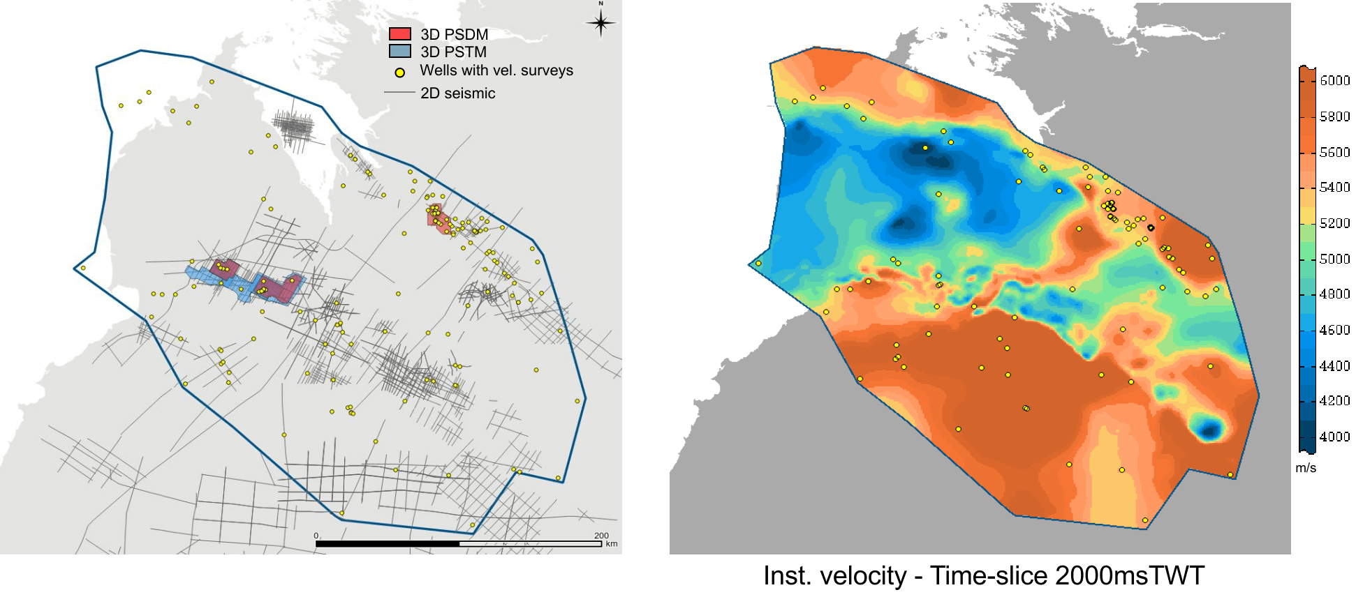
A new onshore velocity model has been developed for the onshore Canning Basin of Western Australia through a collaboration between Estimages and Buru Energy. The project was enabled by co-funding under the Western Australian State Government’s Energy Analysis Program (EAP) initiative to encourage exploration of petroleum and geothermal resources in the state of Western Australia, a component of the Exploration Incentive Scheme funded by the Western Australian State Government and administered by the Department of Energy, Mines, Industry Regulation and Safety (DEMIRS).
The velocity model covers an area of 70,000 km² across the Fitzroy Trough (one of the main structural elements of the Canning Basin) and adjacent terraces. The model incorporates open file well velocity surveys from 99 wells and seismic velocity data from 39 2D surveys or reprocessing projects and 6 3D seismic surveys of varying vintages. This regional model provides the foundation for future analyses and projects that require conversion of data between time to depth and will enable future studies to be completed more efficiently and with higher accuracy.
This project presented a significant challenge due to the sparse and diverse data types available and developing this velocity model has enhanced Estimages’ expertise in onshore modelling. The model will become available to the public and to download from DEMIRS’ WAPIMS on 1 September 2024.
